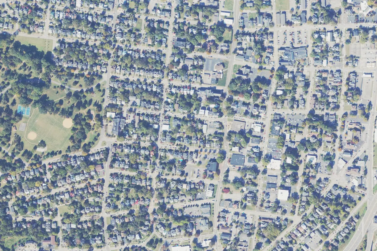
Old Southwest is a 383-acre neighborhood in ZIP 24016, most of it in a city historic district. Zillow's 24016 value was $166,240 in September 2026.
Last checked Oct. 19, 2026. The boundary is the City of Roanoke’s own, from its Neighborhoods Planning map layer; the historic overlay from the city’s historic districts layer; school zones from the city’s elementary, middle and high school zone layers; parks from the city’s parks and greenways layer; home values from the Zillow Home Value Index (Zillow Research); bus routes from Valley Metro’s route feed; stores from OpenStreetMap (© OpenStreetMap contributors).
Old Southwest is the 383-acre neighborhood just south and west of downtown, built around Highland Park. All of it is in ZIP code 24016, and about 87% of it lies inside the city’s H-2 Old Southwest historic overlay district.
What this means for you
- Zoned high school: Patrick Henry High for about 79% of the neighborhood, William Fleming High for about 21%
- Typical home value, ZIP 24016: $166,240 in September 2026, according to Zillow
- Nearest I-581 exit: Exit 4 (Orange Avenue, U.S. 460), about 1.8 miles by road
- School zone questions: Roanoke City Public Schools, 540-853-2502
Where it is
On the city’s planning map, Old Southwest borders downtown to the northeast, South Jefferson to the southeast, Wasena to the southwest, and West End and Mountain View to the northwest. The U.S. 220 expressway and Jefferson Street run along parts of its edges, and Franklin Road and Elm Avenue cross it.
City Plan 2040 carries forward the Old Southwest Neighborhood Plan (2009) for the area and maps most of it (55%) as an urban neighborhood character district, the type the plan describes as built between the 1890s and 1940s on a grid of narrow tree-lined streets and alleys, with lots of 3,000 to 7,000 square feet. About 28% is mapped as local commercial, mostly along its main roads. OpenStreetMap names the area “Old Southwest.” The city lists Old Southwest, Inc. as its neighborhood organization.
Inside the H-2 overlay, exterior changes to buildings go through the city’s Architectural Review Board; see our building permits and zoning guide.
Schools
| School | Share of Old Southwest | Address | State report card |
|---|---|---|---|
| Highland Park Elementary | about 88% | 1212 Fifth St. SW | School Quality Profile |
| Wasena Elementary | about 12% | 1125 Sherwood Ave. SW | School Quality Profile |
| James Madison Middle | all | 1160 Overland Road SW | School Quality Profile |
| Patrick Henry High | about 79% | 2102 Grandin Road SW | School Quality Profile |
| William Fleming High | about 21% | 3649 Ferncliff Ave. NW | School Quality Profile |
All are Fully Accredited. Under Virginia’s School Performance and Support Framework, Highland Park and Wasena elementary schools are rated Distinguished, James Madison Meets Expectations, Patrick Henry Approaching Expectations and William Fleming Needs Intensive Support; see our schools guide. Check one address on the Attendance Zone Locator.
Home values
Zillow’s Home Value Index for ZIP 24016 was $166,240 in September 2026, about level with $166,121 a year earlier. Zillow’s figure for Roanoke as a whole was $277,549. ZIP 24016 also takes in Gainsboro, part of downtown and neighborhoods west of downtown, so it is only a broad guide to Old Southwest. The index is a modeled typical value for mid-priced homes, not a sale price. See our home prices guide.
Parks and trails
- Highland Park, 641 Walnut Ave. SW, a 32.8-acre community park almost entirely inside the neighborhood
- Argonne Circle, 340 King George Ave. SW, a 0.4-acre mini park
- Elmwood Park, 706 Jefferson St. SE, and West End Park, 918 Campbell Ave. SW, both on the neighborhood’s edge
The Mill Mountain Greenway passes through. See our parks and trails guide.
Getting around
Distances are measured on the road network from the middle of the neighborhood (OSRM routing on OpenStreetMap data); they are not drive times.
| To | Distance |
|---|---|
| City Hall (215 Church Ave. SW) | about 0.7 mile |
| I-581 Exit 4 (Orange Avenue, U.S. 460) | about 1.8 miles |
| I-581 Exit 6 (Elm Avenue) | about 2.6 miles |
| Roanoke-Blacksburg Regional Airport (ROA) | about 5.9 miles |
Valley Metro’s route feed shows stops for Routes 51, 52, 55 and 56 (3rd St Station to Tanglewood Mall), Routes 61 and 62 (Brambleton and Red Rock), Routes 41 and 42 (Southeast Roanoke) and the fare-free Star Line Trolley inside the neighborhood. See our getting around guide.
Groceries and everyday stores
- Sunnyside Market, 504 Mountain Ave. SW, inside the neighborhood
- Kroger and Kroger Pharmacy, 614 Brandon Ave. SW, about 0.2 mile outside
- Carilion Clinic Pharmacy, 3 Riverside Circle SW, about 0.2 mile outside
- The Fresh Market, 2207 Colonial Ave. SW, and Earth Fare, 2203 Franklin Road SW, under half a mile away
How to check an address
Look up the parcel on the city’s GIS map to see whether it is inside the H-2 overlay, then check the school on the zone locator. Our property tax guide has the city rate, and all 12 areas are on our Roanoke neighborhoods guide.
Frequently asked questions
Is Old Southwest a historic district?
Mostly. About 87% of the neighborhood is inside the city’s H-2 Old Southwest historic overlay, where exterior changes to buildings go through the city’s Architectural Review Board.
What schools serve Old Southwest in Roanoke?
About 88% is zoned for Highland Park Elementary and the rest for Wasena Elementary. All of it is zoned for James Madison Middle. About 79% is zoned for Patrick Henry High and about 21% for William Fleming High.
What ZIP code is Old Southwest?
All of Old Southwest is in ZIP code 24016.
Is Old Southwest a good place to live?
That depends on the household. The facts: Old Southwest is a 383-acre city neighborhood around the 32.8-acre Highland Park, about 0.7 mile by road from City Hall, mostly zoned for Highland Park Elementary, which the state rates Distinguished.
Have your say