Greater Deyerle is Roanoke's largest planning neighborhood, 1,738 acres in ZIP 24018. Zillow's 24018 value was $375,478 in Sept. 2026.
Last checked Oct. 19, 2026. The boundary is the City of Roanoke’s own, from its Neighborhoods Planning map layer; school zones from the city’s elementary, middle and high school zone layers; parks from the city’s parks and greenways layer; home values from the Zillow Home Value Index (Zillow Research); bus routes from Valley Metro’s route feed; stores and place names from OpenStreetMap (© OpenStreetMap contributors).
Greater Deyerle is the city’s largest planning neighborhood, 1,738 acres on the west side along Brandon Avenue and Grandin Road. About 96% of it is in ZIP code 24018, and about two-thirds of its edge is the Roanoke County line, so neighbors across the street may pay county taxes and attend county schools.
What this means for you
- Zoned high school: Patrick Henry High, 2102 Grandin Road SW (the whole neighborhood)
- Typical home value, ZIP 24018: $375,478 in September 2026, according to Zillow (a ZIP mostly in Roanoke County)
- Nearest I-581 exit: Exit 3 (Hershberger Road), about 5.6 miles by road
- School zone questions: Roanoke City Public Schools, 540-853-2502
Where it is
On the city’s planning map, Greater Deyerle borders Greater Raleigh Court to the east and Cherry Hill to the north; the rest of its edge is the Roanoke County line. Brandon Avenue (U.S. 11 and U.S. 221) runs through it for about 2.5 miles, along with Mud Lick Road, Grandin Road, Peters Creek Road (Route 117) and Deyerle Road. OpenStreetMap names about 20 smaller places inside it, among them Belle Aire, Windsor Hills, Medmont Lake, Lee Hy Park, Crestmoor and Westchester Court.
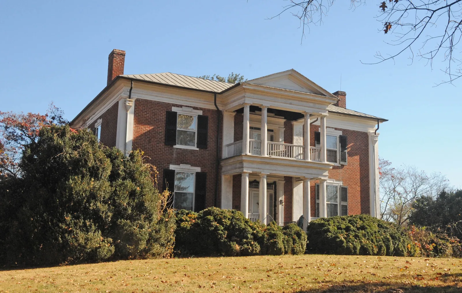
City Plan 2040 carries forward the Greater Deyerle Neighborhood Plan (2006). Its character map puts about 84% of the neighborhood in the suburban type (lots larger than 7,000 square feet), the highest share of the 12 areas in our guide, and about 11% in industrial use. The city lists the Greater Deyerle Neighborhood Association as its organization. Two National Register listings are on the city’s register layer here: Belle Aire, on Belle Aire Circle SW, and the Benjamin Deyerle Place (Lone Oaks) on Grandin Road SW.
Schools
No public school sits inside Greater Deyerle; the city’s zone layers assign it to:
| School | Share of Greater Deyerle | Address | State report card |
|---|---|---|---|
| Grandin Court Elementary | about 85% | 2815 Spessard Ave. SW | School Quality Profile |
| Fairview Elementary | about 15% | 648 Westwood Blvd. NW | School Quality Profile |
| Woodrow Wilson Middle | all | 1813 Carter Road SW | School Quality Profile |
| Patrick Henry High | all | 2102 Grandin Road SW | School Quality Profile |
All four are Fully Accredited. Under Virginia’s School Performance and Support Framework, Grandin Court Meets Expectations, Patrick Henry is Approaching Expectations, and Fairview and Woodrow Wilson Need Intensive Support; see our schools guide. Check one address on the Attendance Zone Locator.
Home values
Zillow’s Home Value Index for ZIP 24018 was $375,478 in September 2026, up 2.3% from $366,976 a year earlier. That ZIP code covers a large part of southwest Roanoke County as well as this neighborhood, so it is a weak guide to city homes here; Zillow’s figure for Roanoke as a whole was $277,549, and for next-door ZIP 24015 it was $301,322. The index is a modeled typical value for mid-priced homes, not a sale price. See our home prices guide.
Parks and trails
The city’s parks layer shows few parks inside Greater Deyerle. The Roanoke River Greenway runs along part of the neighborhood, with Liz Belcher Plaza at 3801 Blue Ridge Drive SW. See our parks and trails guide and walking and biking trails guide.
Getting around
Distances are measured on the road network from the middle of the neighborhood (OSRM routing on OpenStreetMap data); they are not drive times.
| To | Distance |
|---|---|
| City Hall (215 Church Ave. SW) | about 4.9 miles |
| I-581 Exit 3 (Hershberger Road) | about 5.6 miles |
| I-581 Exit 6 (Elm Avenue) | about 5.9 miles |
| Roanoke-Blacksburg Regional Airport (ROA) | about 6.5 miles |
| I-81 Exit 141 (Route 419) | about 7 miles |
Valley Metro’s route feed shows Routes 71 and 72 (3rd St Station to Lewis Gale Hospital) stopping along Brandon Avenue in the neighborhood. See our getting around guide.
Groceries and everyday stores
- Food Lion, 4933 Grandin Road SW, inside the neighborhood
- Kroger and Kroger Pharmacy, 1925 Electric Road, about 0.1 mile outside
- CVS Pharmacy, 1875 Electric Road, about 0.2 mile outside
How to check an address
Search the parcel on the city’s GIS map first to confirm it is inside city limits; if it is in Roanoke County, the county’s parcel search, tax rate and schools apply instead. Then check the school on the zone locator. Our property tax guide has the city rate, and all 12 areas are on our Roanoke neighborhoods guide.
Frequently asked questions
What schools serve Greater Deyerle in Roanoke?
About 85% of Greater Deyerle is zoned for Grandin Court Elementary and 15% for Fairview Elementary. All of it is zoned for Woodrow Wilson Middle and Patrick Henry High.
Is Greater Deyerle in Roanoke city or Roanoke County?
The neighborhood itself is inside Roanoke city limits, but about two-thirds of its edge is the line with Roanoke County, and its ZIP code, 24018, is mostly in the county. Check a parcel on the city’s GIS map before assuming city schools or city taxes.
What ZIP code is Greater Deyerle?
About 96% of Greater Deyerle is in ZIP code 24018, with a small part in 24017.
Is Greater Deyerle a good place to live?
That depends on the household. The facts: Greater Deyerle is a 1,738-acre city neighborhood on the county line along Brandon Avenue and Grandin Road, about 4.9 miles by road from City Hall, zoned for Patrick Henry High; Zillow’s typical 24018 value was $375,478 in September 2026.
Have your say