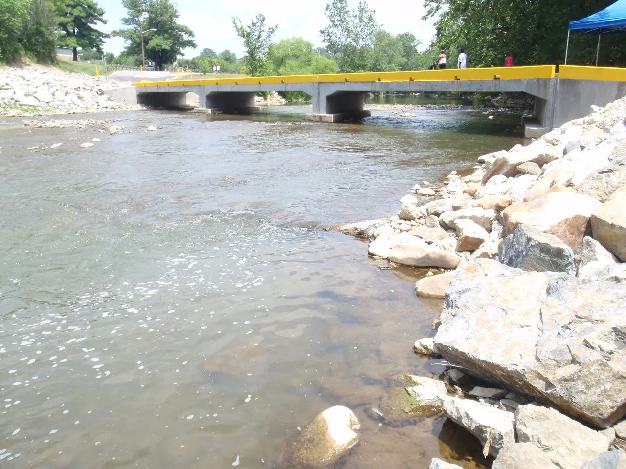
Roanoke's greenways and trails: the 10-plus-mile Roanoke River Greenway, Lick Run, Tinker Creek, Mill Mountain's 15 miles of trail, trailheads and parking.
Last checked Oct. 19, 2026. Every length, trailhead and rule below comes from Roanoke Parks and Recreation’s greenways and trails pages and its greenway safety guidelines. Check the greenway alerts page for closures before you go.
Roanoke has seven city greenways and more than 100 miles of paved and natural-surface trail, with the Roanoke River Greenway, more than 10 paved miles along the river, as the backbone. Mill Mountain adds more than 15 miles of natural trail, and Carvins Cove, north of the city, about 60 more. Greenways are open 6 a.m. to 11 p.m. daily.
Who to call
- Roanoke Parks and Recreation: 540-853-2236
- Trail and greenway closures: playroanoke.statusfy.com
- Carvins Cove passes: Western Virginia Water Authority, Boat Landing office, 540-362-1757
- Emergencies on a trail: 911
The greenways
| Greenway | Length and surface | From and to | Trailheads and parking |
|---|---|---|---|
| Roanoke River Greenway | More than 10 miles in the city, paved | Salem line east toward the Roanoke County line | Bridge Street, Vic Thomas Park, Wasena Park, Smith Park, River’s Edge Park, Piedmont Park, Bennington |
| Lick Run Greenway | Paved | Downtown to Huff Lane Park near Valley View Mall, plus a section in Countryside Park | Washington Park, upper Brown-Robertson Park, Countryside Park |
| Tinker Creek Greenway | Paved city sections; natural surface from Hollins to Carvins Cove | Roanoke River north to Wise Avenue at Fallon Park; 13th Street NE to Mason Mill Park | Wise Avenue (2091 Wise Ave. SE), Dale Avenue North and South (2222 and 2221 Dale Ave. SE), 13th Street NE, Mason Mill Road, Mason Mill Park |
| Mill Mountain Greenway | Mix of paved path and on-road links; steep near the top | Downtown to the Roanoke Star | John Nolen Plaza and Elmwood Park (nearby garages), Discovery Center, the Star |
| Garden City Greenway | 2.03 miles; paved to the rec center, then natural surface | Roanoke River Greenway near Mount Pleasant Road to Yellow Mountain Road | Garden City Recreation Center |
| Murray Run Greenway | The city’s only unpaved greenway | Grandin Road near Patrick Henry High School to McNeil Drive near Virginia Western | Dan Wright Trailhead in Shrine Hill Park, Fishburn Park |
| Read Mountain Greenway | 0.68 miles | Blue Hills area, Northeast Roanoke | See the map |
Notes from the city:
- The Roanoke River Greenway between the Bennington trailhead and Underhill Road still runs on the road. The city’s maps split the greenway into four sections: Salem line to Bridge Street, Bridge Street to River’s Edge Park, Memorial Bridge to Piedmont Park, and River’s Edge to the Tinker Creek connection.
- The Tinker Creek section from 13th Street NE to Mason Mill Park, finished in 2024, has an ADA-accessible fishing pier and a river access point.
- Lick Run runs uninterrupted from John Nolen Plaza downtown past The Hotel Roanoke and through Washington Park.
- Murray Run connects to Fishburn Park’s Hillside Trail (0.3 miles) and Stream Trail (0.6 miles).
Mill Mountain trails
Mill Mountain Park, nearly 600 acres with the Roanoke Star on top, has more than 15 miles of natural trail for hiking, mountain biking and horseback riding, rated Easy to Expert, according to the city.
- Parking: the Star and overlook lot (Watchtower and Star trails), the Discovery Center lot (Understory and Ridgeline trails), and some parking at Mill Mountain Spur and J.B. Fishburn Parkway (Monument, Ridgeline and Riser trails). The Riverland Road/Star Trail lot at the base of the mountain is temporarily closed for construction; park at Piedmont Park or River’s Edge Park on the river greenway instead.
- Who can use what: hikers can use every trail. Bikes are not allowed on the Watchtower and Star trails; horses are not allowed on the Crystal Spring, Watchtower and Star trails.
- The Hub, built in 2025, is a downhill mountain bike area: bikes only, one direction only, with its own difficulty ratings. Get the trail map before you go.
Carvins Cove
The city-owned Carvins Cove Natural Reserve north of town has about 60 miles of trails for hiking, biking and riding. A pass is required for anyone over 16, and the Western Virginia Water Authority sets the hours. Our parks and trails guide has entrances, hours and pass details.
Greenway rules
From the city’s safety guidelines:
- Stay right, pass on the left; walk no more than two abreast.
- Cyclists ride single file, call out when passing and keep a safe speed. Pedestrians always have the right of way.
- Dogs on a leash 6 feet or shorter; pick up after them.
- No motorized vehicles, except ADA-approved mobility devices. All classes of e-bikes are allowed (since July 1, 2020).
- Helmets for cyclists, skaters and skateboarders. No overnight camping.
- Lock your car and hide valuables at trailheads.
What this means for you
- The Roanoke River Greenway has trailheads with parking at Wasena, Smith and River’s Edge parks.
- Climbing to the Star on foot or bike? Take the Mill Mountain Greenway and plan for steep grades.
- Check the alerts page before a ride; the city posts closures there.
Related guides: dog-friendly Roanoke, parks and trails in Roanoke and free things to do in Roanoke.
Frequently asked questions
How long is the Roanoke River Greenway?
More than 10 miles of paved trail inside the city of Roanoke, from the Salem line toward the Roanoke County line. The stretch between the Bennington trailhead and Underhill Road still runs along the road while it is designed and funded.
Where can I park for the Roanoke River Greenway?
The city lists trailheads at Bridge Street, Vic Thomas Park, Wasena Park, Smith Park, River’s Edge Park, Piedmont Park and Bennington.
Can you ride e-bikes on Roanoke greenways?
Yes. Since July 1, 2020, all classes of e-bikes have been allowed on city greenways. Other motorized vehicles are not.
Can you walk or bike from downtown Roanoke to the Roanoke Star?
Yes, on the Mill Mountain Greenway. It runs on sidewalks and roads from John Nolen Plaza and Elmwood Park, along a separated path on Williamson Road, up the Old Road and on a shared-use path from the Discovery Center to the Star. Expect steep grades on the climb.
What are the greenway hours?
Greenways are open daily from 6 a.m. to 11 p.m., like city parks.
Have your say